|
| *****SWAAG_ID***** | 125 |
| Date Entered | 09/02/2011 |
| Updated on | 09/02/2011 |
| Recorded by | Tim Laurie |
| Category | Settlement |
| Record Type | Archaeology |
| Site Access | Public Access Land |
| Record Date | 01/01/2005 |
| Location | Arkengarthdale. High Eskeleth. Low Moor. |
| Civil Parish | Arkengarthdale |
| Brit. National Grid | NY 99497 04378 |
| Altitude | 275m |
| Geology | Sandstone above Five Yard limestone. |
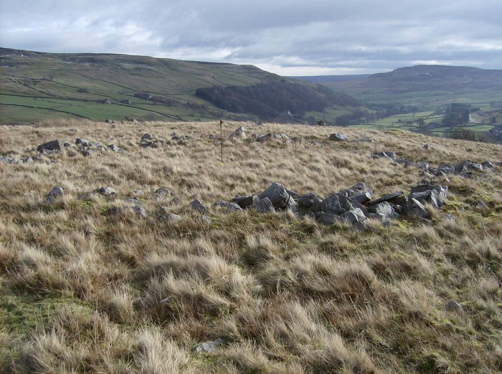
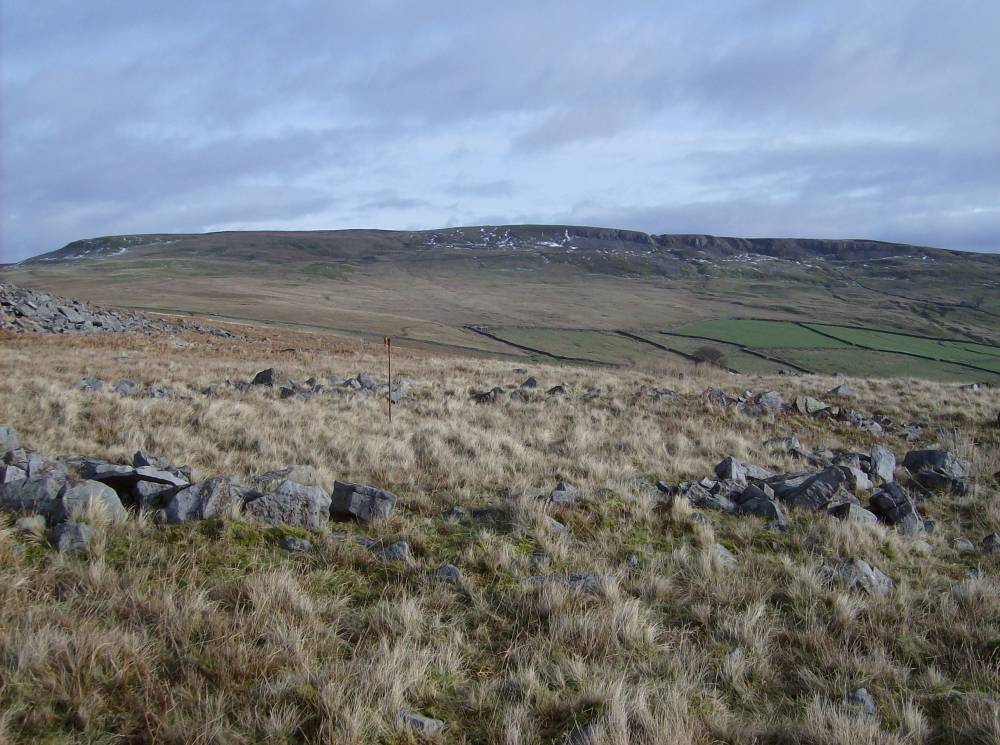
| Record Name | Unenclosed round house settlement above High Eskeleth Farm |
| Record Description | Two adjoining ring banks interpreted as round house enclosures 5m and 20m south respectively of a long field boundary (ARK010) with which these round houses are thought to be associated.
|
| Dimensions | See site plan |
| Additional Notes | The large stone dump ring bank round houses on the Low Moor together with the other structures which may be small building platforms within the adjacent sandstone scree and the extensive field boundaries (recorded separately)are thought to represent open prehistoric settlements above and below High Eskeleth Farm. |
| Image 1 ID | 282 Click image to enlarge |
| Image 1 Description | Round house settlement above High Eskeleth Farm | 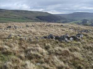 |
| Image 2 ID | 283 Click image to enlarge |
| Image 2 Description | Round house settlement above High Eskeleth Farm |  |
| Image 3 ID | 284 Click image to enlarge |
| Image 3 Description | Round house settlement above High Eskeleth Farm | 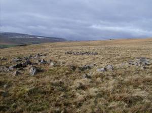 |